Buoy? What Buoy?
It’s always an interesting conversation when we discuss route / trip planning with our non-sailing friends. They simply have a hard time wrapping their heads around the fact that we really don’t know where we will be at any given point in time beyound a day or so from the point of the conversation.
Cruising sailors have an adage that ties neatly into my physics background with regards to space & time – you can either tell us where you want to meet or when you want to meet, but not both!
So, if you want to meet up with us in say NY; that’s cool, we’ll call you the day before we get there. Like wise, if you want to meet us for the 4th of July weekend; no worries, we’ll call you on the 2nd or 3rd and let you know where we are. You want to meet us in NY on the 4th? Good luck with that!
Now, what really bakes their noodle is the fact that we actually do have a plan and a fairly deailed plan at that! It simply doesn’t work off a fixed point of reference – as Einstein might say; It’s all relative!
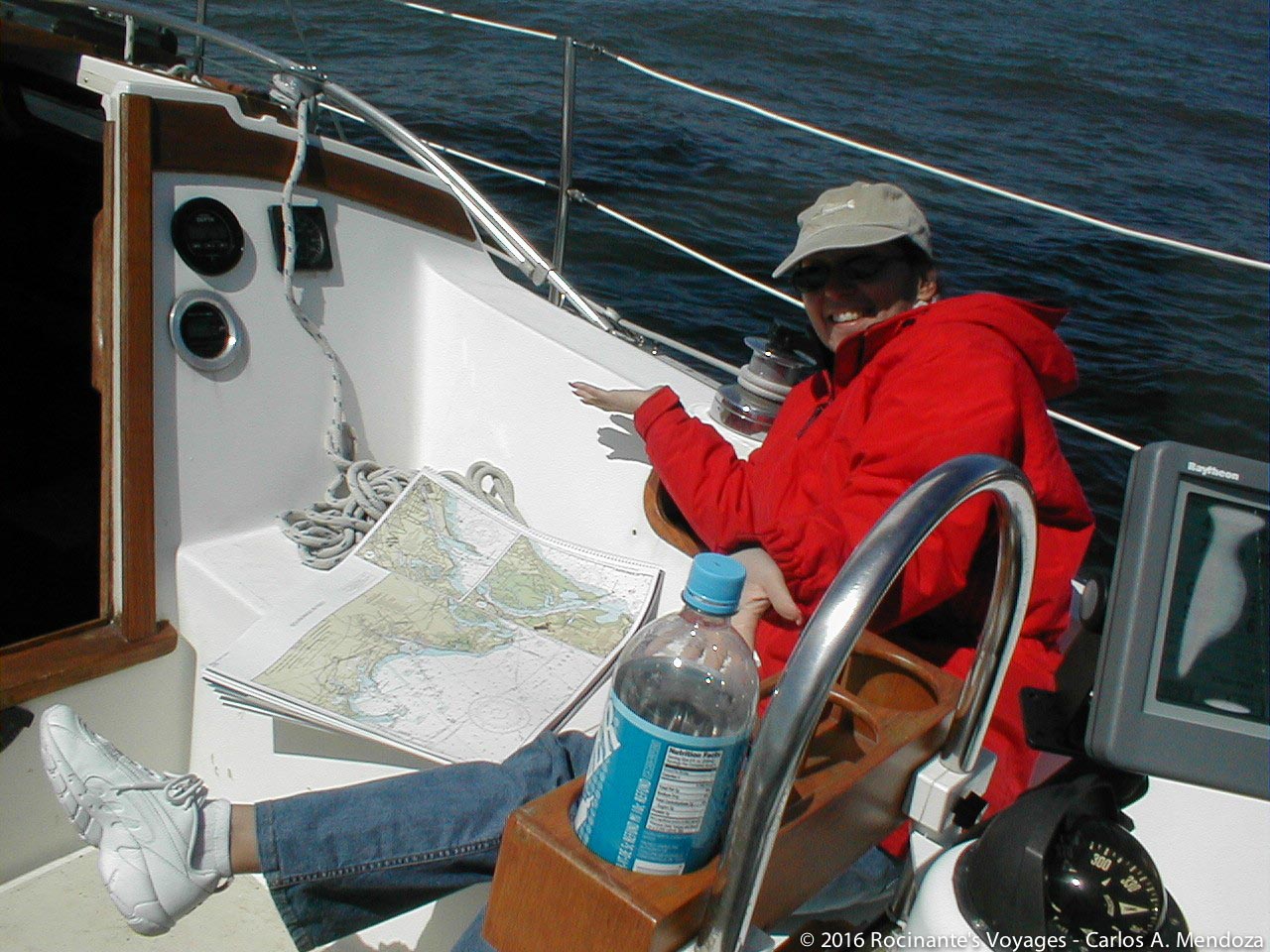
We planned a year long trip starting out from Harwich Port, MA (where we had left our boat after our 1 month trip to Maine) heading south to the Florida keys. We had all the charts necessary to cover every waterway between Maine and the Florida Keys – inland and ocean.
We spent a few weeks working our way down each chart. First, we decided how long we wanted to travel each day before anchoring for the night (time) and using an average speed of say 4 knots (about 4.5 mph or a brisk walk) we would determine our next waypoint (space) Yes, Rocinante can actually do about 7 knots and we actually averaged closer to 6 than 4, but we wanted to be conservative. Should we find a particular anchorage to be too crowded or inaccessible (sand shifts) we wanted enough daylight left to reach our backup.
If we couldn’t find what looked like a good area to anchor, we would look for a marina; failing that, we would backtrack until we could find a good anchorage. In many areas, we also looked for and noted a backup anchorage/marina. This paid off in spades at least twice! We did that across every chart all the way down to the Keys! No, no, seriously we did! Every single day, every single nautical mile!
Then our trip started!
We got to Harwichport and found our boat had been VERY poorly taken care of (a story for another day) suffice it to say it took us a couple of weeks before we could head out. So right off the bat, the schedule was shot… but not really, having laid everything out, all we had to do was shift the dates… see, RELATIVE!
We headed out and got slammed by Nor’easters – more delays! So we hung out in Northport Long island for a few days waiting for the weather to pass, then anchored in Sandy Hook, NJ for our overnight run down the NJ coast (no anchorages and no marinas because of our draft). We made it to Cape May and loved it, so hung out for about a week enjoying everything that lovely town had to offer.
Instead of mid-September, it was mid-October by the time we hit the Chesapeake; the 17th to be exact. We spent a ton of time in Annapolis and were in Portsmouth VA, Christmas day when we decided to leave Rocinante for a few days and went home to NJ to suprise our family!
The trip continued… We loved Charleston, so we spent almost a month there!
This process continued all the way down to the Florida Keys… every day we followed our original plan, but the decision of when to stop & when to leave was dictated by wind, tide and desire!
For example, on our way to Fernandina Beach, we were running a bit behind and reached a particular bridge after the tide had gotten a bit too high for our comfort; we have a 64′ mast and this was a 65′ bridge clearance! So we dropped anchor, had lunch, read a bit and waited for the tide to change. Obviously by that time, there was no way we would reach Fernandina Beach by nightfall, so we opted to stop at Jekyll Island instead. You already know how that ended – we loved it and spent a week exploring the island!
Bottom line; by having a rather detailed route plan, we always have a good handle on when we would be in a particular place. Now this is key! We knew, relative to where we were, not relative to when we started the trip!
So, we knew we’d be in St. Augustine 1 day after we left Jekyll Island… the fact that it was in March instead of the previous November was another story!
Do not let any plan, schedule, etc. dictate your actions – we’ve seen far too many people get ino dire trouble because they “had to” head out that day… Enjoy and be safe!
Till next time,
Carlos & Maria
SV Rocinante…_/)